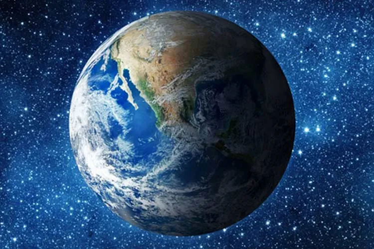
The Earth appears stationary on a daily scale, but the distribution of mass on its surface is constantly changing. With the changing seasons, snow accumulates on the continents, rain fills river basins, and water from snowmelt and precipitation returns to the oceans. This natural cycle can shift the Earth's center of mass relative to the solid part of the planet by a few millimetres.
New research shows that about 6.3 trillion tonnes of water, equivalent to 6,300 gigatonnes, are exchanged annually in the seasonal transfer between continents and oceans. This process is accompanied by an annual oscillation in the Earth's center of mass and also changes mean sea level seasonally by about 17.3 millimetres; a change that does not mean a permanent rise in ocean levels, because the water is redistributed between land and sea throughout the annual cycle.
Snow and rain move the Earth by a few millimetres
This displacement does not have a fixed direction over the year and is the result of the interaction of several seasonal phenomena.
In March, the amount of snow accumulated in North America and Eurasia reaches its peak. The transfer of this vast amount of water from the oceans to the land causes the Earth's center of mass to shift about 3 millimetres northward.
One month later, in April, the water stored in the Amazon basin reaches its maximum. About 2,400 gigatonnes of water accumulate in this region and pull the Earth's center of mass roughly 2.2 millimetres toward South America.
Later in the year, the monsoon rains of Southeast Asia and the increased mass of water in the oceans add to this oscillation. Southeast Asian monsoon waters have about 600 gigatonnes of mass at their peak, and the Pacific Ocean also plays an important role in changing the Earth's mass distribution during the late summer months.
The Earth's atmosphere is not entirely outside this equation either. Seasonal changes in atmospheric mass, particularly the accumulation of cold, dense air in winter, can play a role in shifting the center of mass; although its contribution differs from that of water displacement.
Why does measuring a few millimetres matter?
These displacements are very small compared with the Earth's diameter of about 12,742 kilometres, but they are of great importance to geodesy. The Earth's center of mass is one of the fundamental references for precisely determining satellite positions and creating reference systems used in mapping and navigation.
Traditionally, scientists have used Satellite Laser Ranging (SLR) to determine the Earth's center of mass. The two spherical satellites LAGEOS-1 and LAGEOS-2 play an important role in this method, and by means of laser pulses sent from ground stations, their orbital positions are determined with very high precision.
But there is a major problem: SLR ground stations are not evenly distributed around the world and a significant share of them are located in Europe and North America. In addition, changes in the mass of water, ice and the atmosphere can elastically deform the Earth's crust itself and thus slightly shift the positions of measurement stations.
Combining GPS and satellites for greater accuracy
To reduce these limitations, researchers combined GPS data, LAGEOS laser ranging, and information from several low-Earth-orbit satellites with models of seasonal crustal deformation.
The results of this new method were consistent with previous estimates based on the International Terrestrial Reference Frame, GRACE data and the traditional SLR method within about 2.5 millimetres; a fact that, according to the researchers, confirms the robustness of these estimates.
This research, published in Geophysical Journal International, shows that even very small changes in the distribution of water and air can be important for precise Earth-measuring systems. Such data can help improve geodetic reference systems, navigation, mapping and satellite tracking, while also providing a more accurate picture of how water moves in the Earth's seasonal cycle.