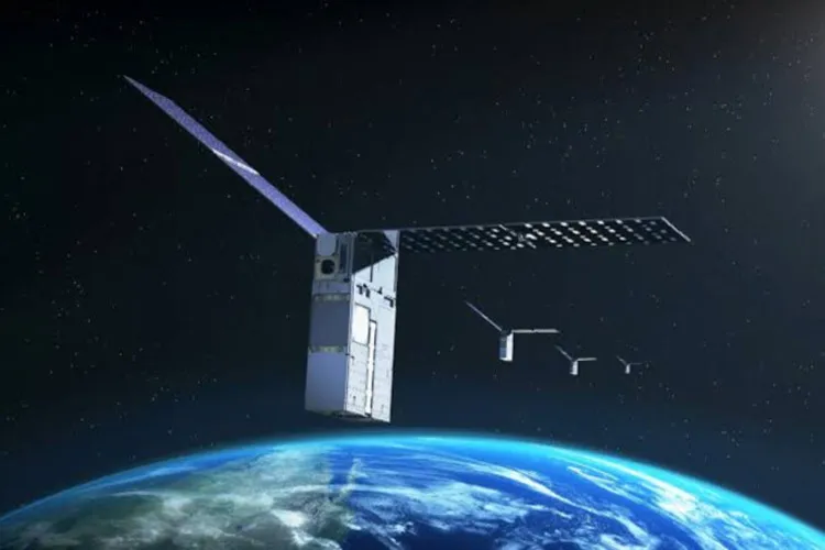
NASA’s Starling mission has reached another milestone in spacecraft autonomy by introducing a new system that determines a satellite’s position using other space objects as reference points; a system that, unlike traditional navigation networks, does not rely on GPS.
It is reported that the technology test called FALCON (Fast Autonomous LiDAR- and Camera-based Optical Navigation - though here named Fast, Autonomous, List-based CONstellation navigation) (FALCON) (Fast, Autonomous, List-based CONstellation navigation) is another step toward spacecraft that can operate with greater independence.
As NASA prepares for more missions beyond Earth orbit, systems like FALCON can support lunar satellite constellations, distributed scientific missions, and future human exploration.
Navigation in space without GPS
Most satellites rely on GPS for navigation, but its signals around the Moon and in deep space can be unreliable or even unavailable. FALCON is a flight experiment co-developed by NASA and EraDrive, a Stanford University spin-off startup.
Accordingly, the system combines EraDrive’s flight software "Era-Core" and embedded algorithms with Starling’s cameras and an onboard catalog of known satellites.
Together, these tools enabled GPS-independent navigation for the spacecraft and increased its awareness of nearby objects.
Roger Hunter, manager of NASA’s Small Spacecraft and Distributed Systems program at Ames Research Center in Silicon Valley, California, says FALCON represents another success for the Starling technology demonstration mission and its results could have broad implications for space traffic monitoring, collision avoidance, and alternative navigation methods. He adds that the number of "firsts" coming from Starling continues to grow.
Using other space objects as reference points
The FALCON experiment tested two complementary capabilities by newly leveraging Starling’s star-tracker cameras; standard instruments that typically identify bright celestial objects to determine spacecraft attitude and position.
According to ITNA and citing SciTechDaily, in the position, navigation, and timing tests, FALCON compared objects observed by Starling’s cameras, including other spacecraft and orbital debris, with a catalog of known space objects maintained and publicly released by the U.S. Department of Defense.
After identifying and verifying those objects, FALCON used them as reference points to compute Starling’s orbit.
In separate tests, the system also improved orbit estimates of objects observed by Starling’s cameras. The mission research team uploaded a complete catalog of about twenty thousand space objects and their predicted orbits to the spacecraft.
FALCON then compared the catalog predictions with Starling’s camera observations and, by combining both information sources, estimated the positions of Starling and other objects with greater accuracy than the catalog data alone. Over three days, FALCON improved the known orbits of more than two hundred objects without any intervention from ground operators.
The first step in optical autonomous navigation
FALCON’s orbital self-determination capability is the first instance of a spacecraft using optical cameras for navigation based on relative positions to other space objects.
In a separate achievement, the onboard catalog update tests produced more accurate predictions of object positions on Starling; accuracy beyond that provided by data sent from ground stations.
It is said that GPS-free satellite networks could be especially important for future human missions to the Moon or Mars, where coordinated spacecraft will be needed to support surface operations.
Precise spacecraft positioning is also essential for many scientific missions, because researchers must correctly align data collected from multiple spatial points.
In space traffic management, autonomous navigation and onboard catalog updates can reduce dependence on ground networks and improve collision avoidance.
The FALCON experiment also demonstrates NASA’s role in supporting commercial space technology. The project began as a joint NASA-and-university effort for small satellite technology and later became EraDrive; a company now commercializing the Era-Core software and its associated hardware for broader commercial use.