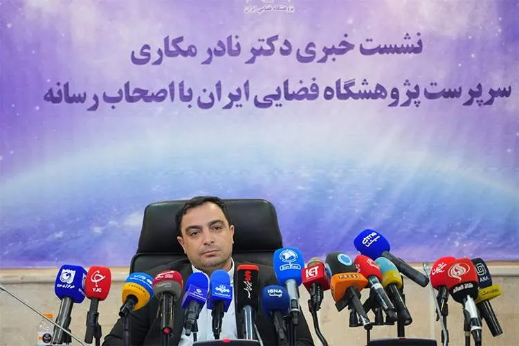
Nader Makari, head of the Iranian Space Research Institute, announced at his press conference held at the Ministry of Communications and Information Technology that development has been completed and tests of the “IranZamin” system have been carried out; a system that is intended to play a role similar to Google Earth in the country and will soon be operationally available.
According to ITPress, this system will be offered in two versions: a public version that provides features similar to common satellite map services, and a commercial version that equips professional users with data processing tools and specialized outputs.
Drafting a native navigation strategy document
Makari also reported the drafting of a comprehensive space navigation document in the early months of this year and said the institute is designing a native constellation for navigation, based on approaches such as augmentation systems and navigation using opportunistic signals. According to the planned schedule, the first operational phase of this project will be implemented next year, although it may not reach the desired final accuracy in the initial steps.
Developments in satellite projects and the role of artificial intelligence
According to the institute head, in the orbital transfer satellites project “Saman” development of liquid-fuel propulsion has begun and in the “Nahid” family of satellites constellation technologies have been implemented.
He emphasized that artificial intelligence is used across the entire space industry chain in the country, from constellation design to data processing and super-resolution of images, and all these tools have been developed completely domestically by local engineers.
Applications of the Khayyam satellite data
Makari announced that sharing of imagery from the remote-sensing satellite “Khayyam” with executive agencies began last year and said municipalities use these data for monitoring construction and urban development, and companies such as the National Gas Company use them to monitor energy infrastructures.
According to him, space data are also used in areas such as subsidence monitoring, estimating agricultural cultivated area, drought management, and monitoring water resources and mines.
Establishment of the “Applications Research Institute” and the “Space Incubator”
He announced the establishment of the “Applications Research Institute” by order of the Minister of Communications, which is tasked with turning space technologies into practical services for executive agencies.
Also, the “Space Incubator” is being launched to provide a platform for researchers and startups in this field.
Reconstruction after the 12-day war damages
According to the Ministry of Communications website, Makari, in response to a question about the impact of the recent war on the institute’s projects, said that despite damage to some infrastructures, the institute returned to the activity cycle in a short period and pursued projects more quickly.
He said development of the “IranZamin” platform is one concrete example of this rapid return, although the exact amount of damages is still under review.
Changing evaluation indicators and the path to financial self-reliance
The head of the Iranian Space Research Institute announced a change in the performance evaluation approach of the organization and said the main indicator is no longer “the number of satellites launched,” but rather the level of service provision, productivity, and number of customers. He also spoke of a new strategy to finance projects through user orders instead of relying solely on government budgets, and attracting private sector investment.